200 km Bikepacking from Tweed to Kasshabog and Back, Based on the Hasty Hastings Loop
The Kawarthas — a name usually traced to an Indigenous word meaning “land of shining waters” or “land of reflections” (sources differ on whether it’s Anishinaabe or Huron/Wendat in origin) — is rich in lakes, forests, cottages, and a handful of campgrounds, which is why most people know it as a car-camping and canoeing destination in summer and a ski destination in winter. What it’s less known for is what’s between the lakes: pioneer-era roads and a former rail line turned into 156 km of multi-use trail, both of which show up on this route. This one takes a published one-day gravel race route — the “Hasty Hastings,” out of Tweed — and turns it into a two-day bikepacking trip with an overnight in a cottage on Kasshabog Lake instead.
We rode it over a Monday and Tuesday in mid-August, out and back from Tweed, splitting the published loop roughly in half: north to Kasshabog Lake on day 1, back south to Tweed on day 2.
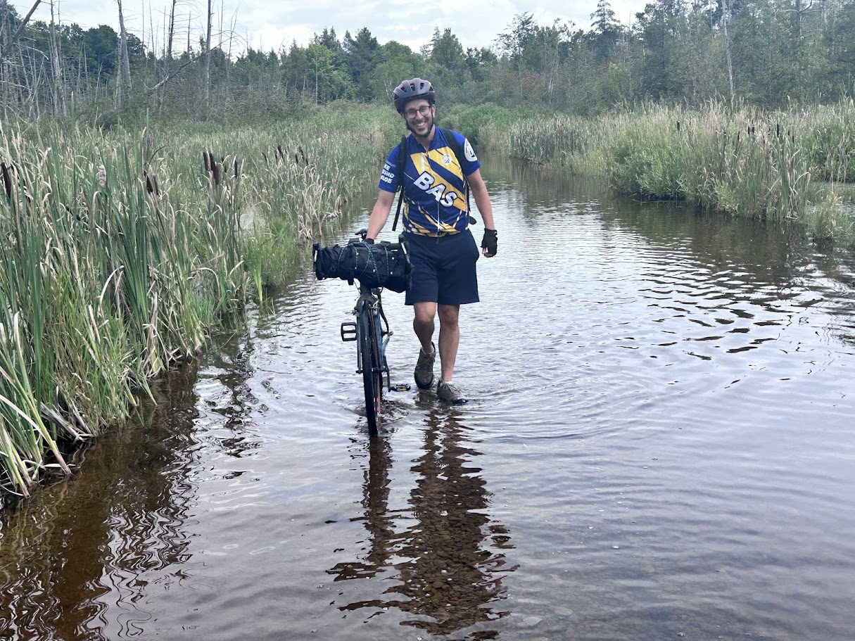
Quick answer: The Hasty Hastings is a published 104 km one-day gravel loop out of Tweed, roughly 80% gravel and rail trail. Split into two days with an overnight at a cottage on Kasshabog Lake, day 1 (Tweed → Marmora → Kasshabog) runs about 105 km (Garmin); day 2 (Kasshabog → back to the published loop just south of Marmora → Tweed) is about 99 km (Garmin). Surface was roughly 50% paved, 25% hardpacked gravel, and 25% soft/loose gravel and rail trail. 40–45mm tires are worth having, and after a wet spell, budget time to walk your bike through at least one flooded stretch of the Hastings Heritage Trail.
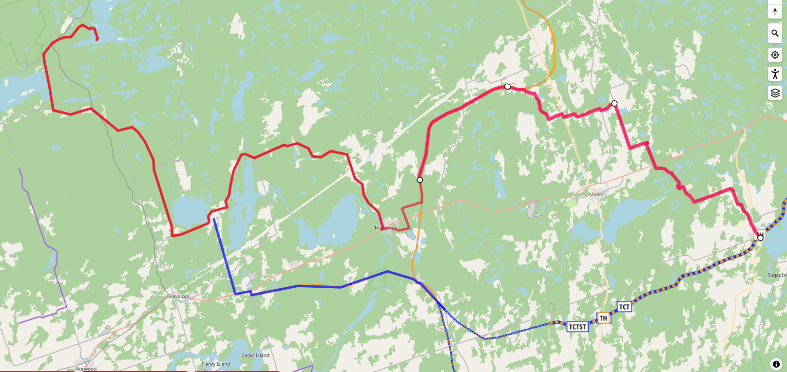
The route, day by day
| Leg | Distance | Elevation gain | From → to | What’s on it | Track |
|---|---|---|---|---|---|
| Day 1A | ~50 km (untracked); Garmin logged 2:48 moving time at 19 km/h avg | 471 m (Garmin) | Tweed → Marmora | The published Hasty Hastings route, mostly quiet paved farm-country roads — including a thunderstorm shelter stop and a lunch stop, neither counted in moving time. | GPX (published reference route) |
| Day 1B | 52.1 km (GPX-measured); Garmin logged 55 km, 2:47 moving time at 20.7 km/h avg | 591 m (Garmin); 550 m from the raw GPX | Marmora → Kasshabog Lake (cottage) | Marmora’s old mine, onto the Hastings Heritage Trail, then paved roads into Kasshabog. | GPX |
| Day 2A | 62.4 km (Garmin, two logged segments: 27.6 km + 34.8 km), 3:00 moving time, ~20.8 km/h avg | 426 m (Garmin, two segments: 240 m + 186 m) | Kasshabog Lake → Round Lake → back onto the published loop just south of Marmora | Retraced the day-1 road from the marina back toward Round Lake on local roads, with a short, nice stretch of gravel on Hubble Rd toward Rush Point (the gravel alternative to day 1’s paved Highway 44). A swim at Round Lake, a careful crossing of busy Highway 7, ~1 km on its gravel shoulder to the Preneveau Pioneer Cemetery, then the Trans Canada Trail east to a lunch stop at Callaghan’s Rapids before splicing back into the Hasty Hastings loop just south of Marmora. | — |
| Day 2B | 37 km (Garmin), 1:56 moving time at 20.3 km/h avg (24.2 km of it GPS-measured) | 282 m (Garmin); ~125 m from the measured segment only | Marmora → Tweed | Followed the southern part of the Hasty Hastings loop, combining the Trans Canada Trail with rolling gravel roads then back to the trail, past a marker reading “Tweed 13 km,” then off the gravel trail at Buller onto paved Crookstone Rd for the last section into Tweed. | GPX (overlaps the tail of Day 2A and the start of Day 2B) |
| ~204 km (published loop is 104 km — our route doubles back to reach the Kasshabog cottage rather than tracing the loop exactly) |
Landmarks on the original Hasty Hastings loop, per its published route notes: Hazzards Corners Methodist Church (1857), the ruins of a 19th-century Catholic church and cemetery in Marmora, the turquoise waters of the old Marmora Mine, and several concrete bridges over the Moira River. We took shelter from a thunderstorm at the public school in Hazzards Corners (more on that below) but didn’t stop at the church itself; we can confirm the mine and a Marmora bridge from our own photos.
Day 1: Marmora’s mine, the Heritage Trail, and a flooded crossing
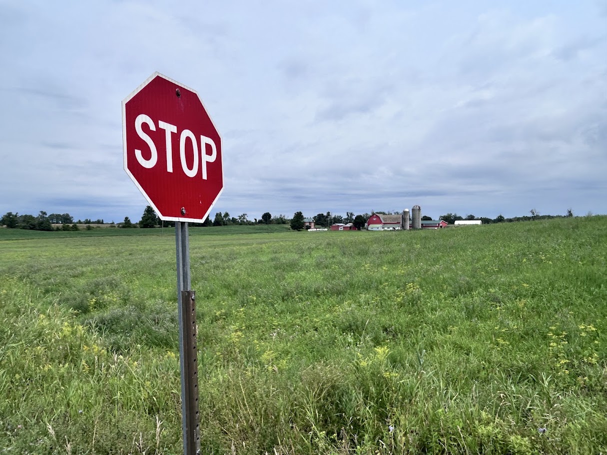
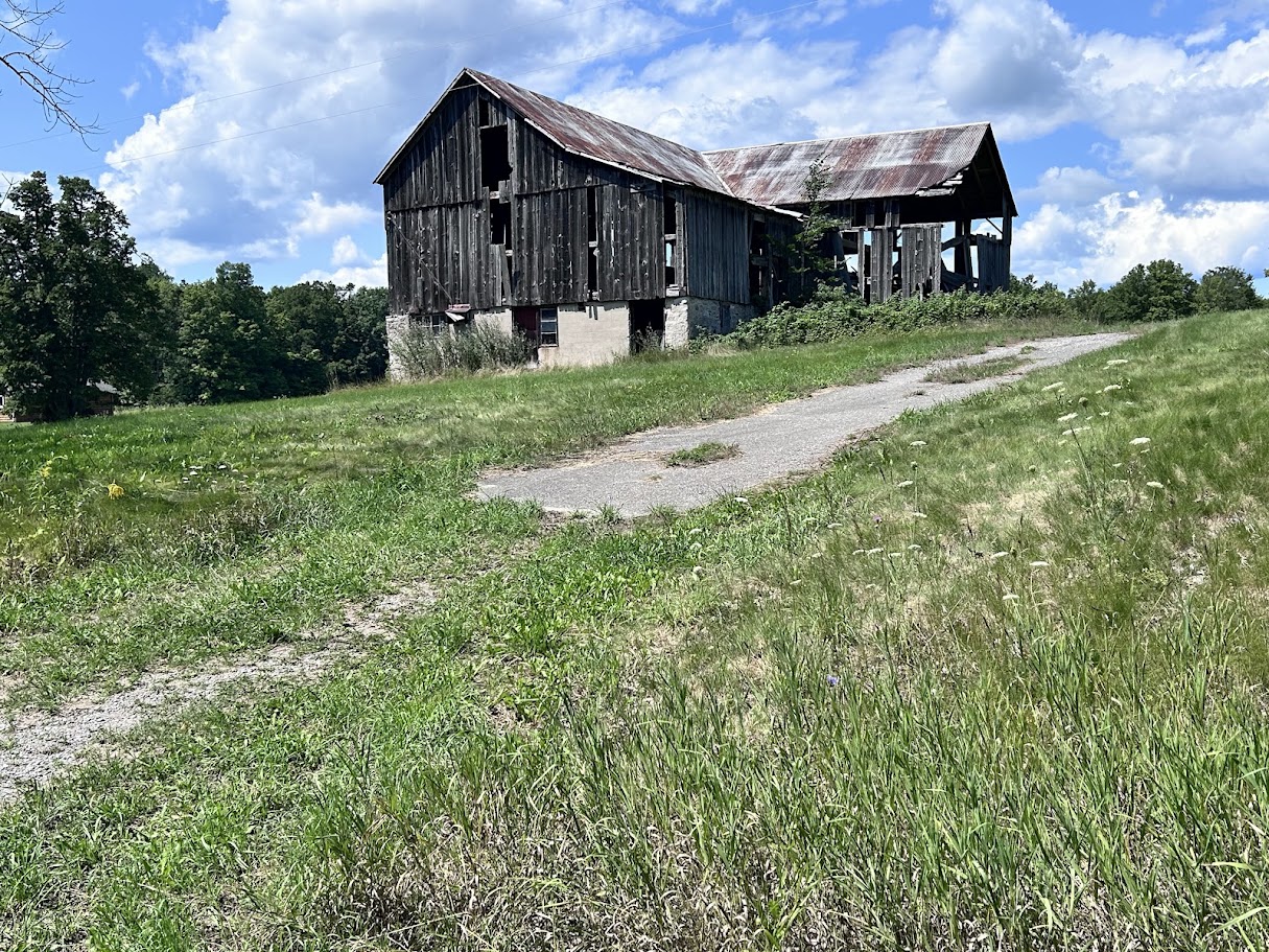
Out of Tweed, the first ~50 km to Marmora follows the published Hasty Hastings route on quiet paved roads through farm country — rural stop signs, hay fields, and small red barns the whole way.
About 30 minutes into the ride, a thunderstorm caught up with us. We pulled the tarp out of a saddlebag on the spot and sat it out on the roadside for about 20 minutes until the worst passed, then kept riding. Worth packing a tarp or bivy you can deploy fast on a route with this little cover — open farm road doesn’t leave many other options.
Lunch was at the public school in Hazzards Corners, taking shelter there from the rain rather than eating outside — a dry place to eat right on the published route. The historic 1857 Methodist church is also in Hazzards Corners, but we didn’t stop there.
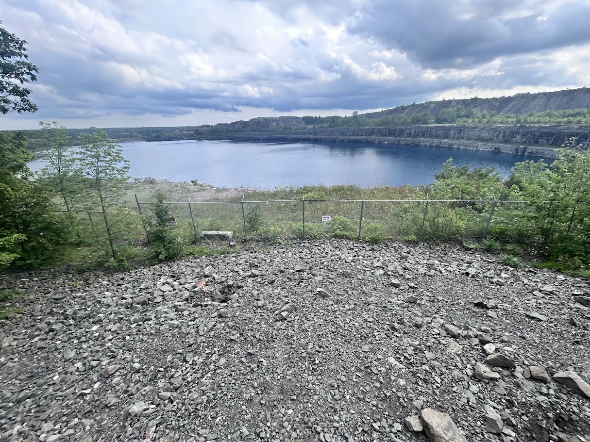
Marmora itself is worth the stop for the old mine — we pulled off the route specifically to see it. It’s an abandoned iron ore mine, now a flooded open pit filled with startlingly turquoise-blue water, fenced off but visible from an overlook just off the route, with an interpretive trail (“Miners’ Loop”) explaining the exposed rock layers.
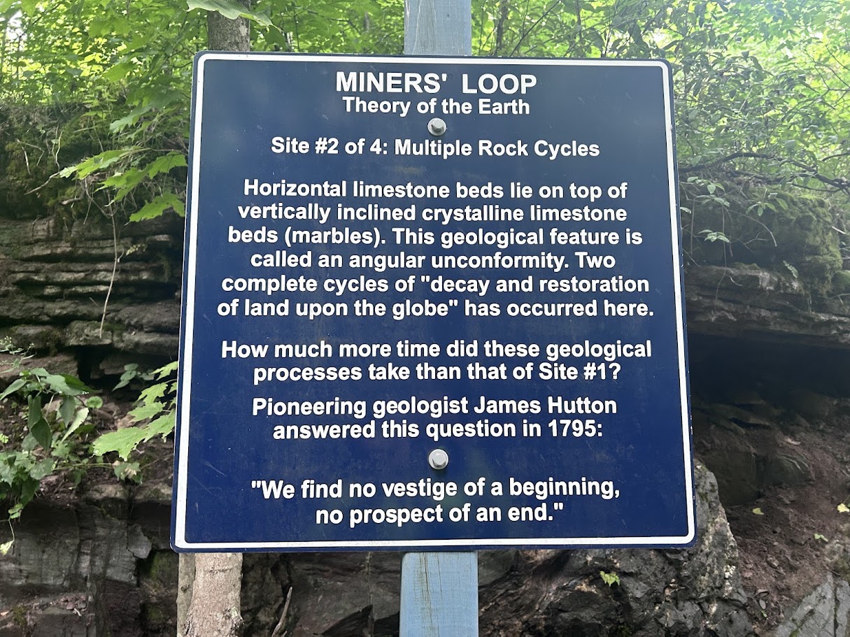
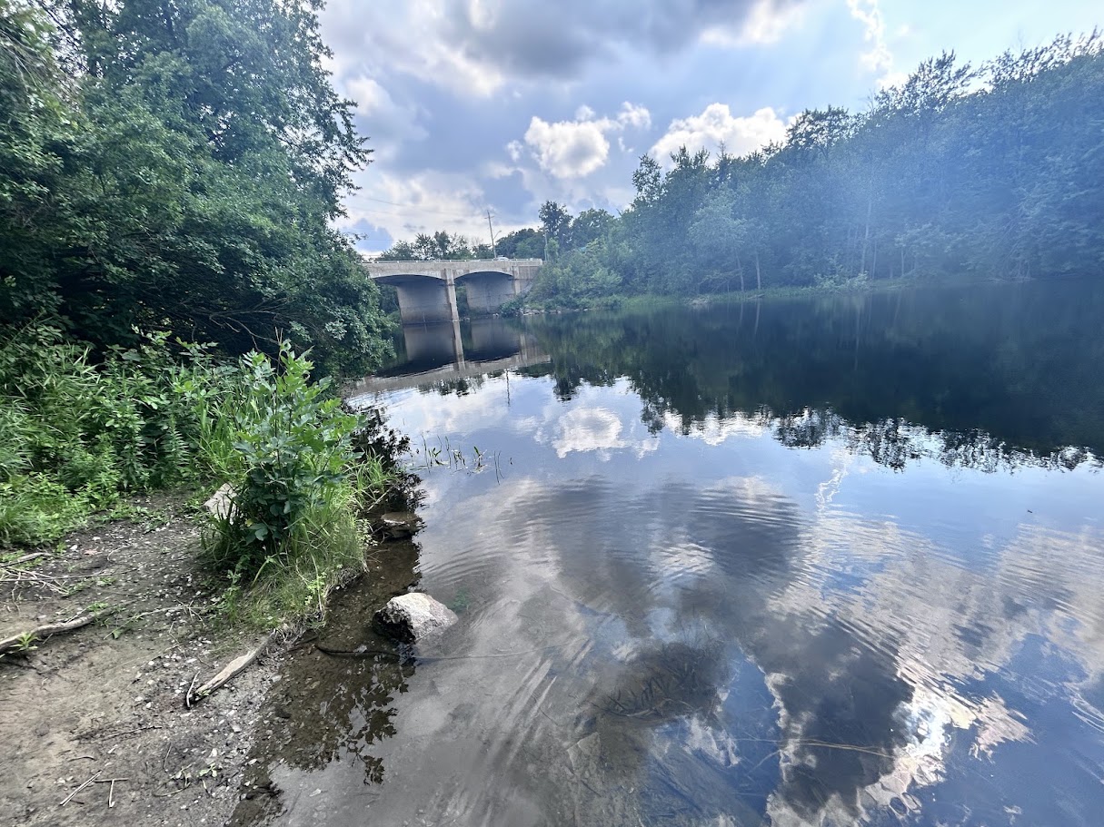
Marmora is also where we topped up water and grabbed ice cream — a good last real resupply before the trail.
Just past town, a “Welcome to Marmora” sign marks the start of the Hastings Heritage Trail proper — gravel, flat, and shared with ATVs and (in winter) snowmobiles.
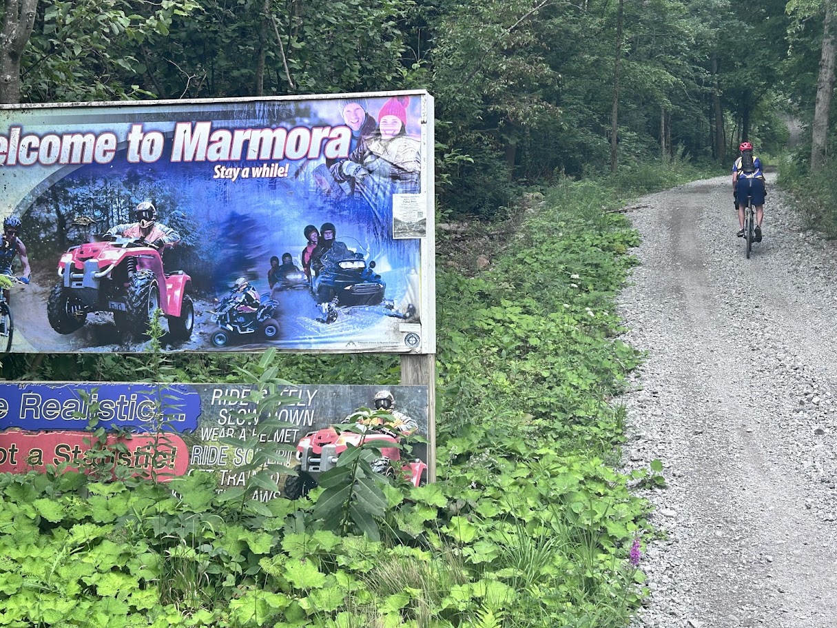
The original Hasty Hastings route notes describe this trail as “rather notorious for being a sandy slog” in sections. After the rain we had, “slog” undersold it — at 44°34′51.7″N 77°34′05.5″W, a low section was standing water deep enough that we chose to dismount and walk the loaded bike across rather than ride it, to lower the risk of going into the water (photo above, under the Quick Answer). Budget extra time for this if you’re riding after wet weather.
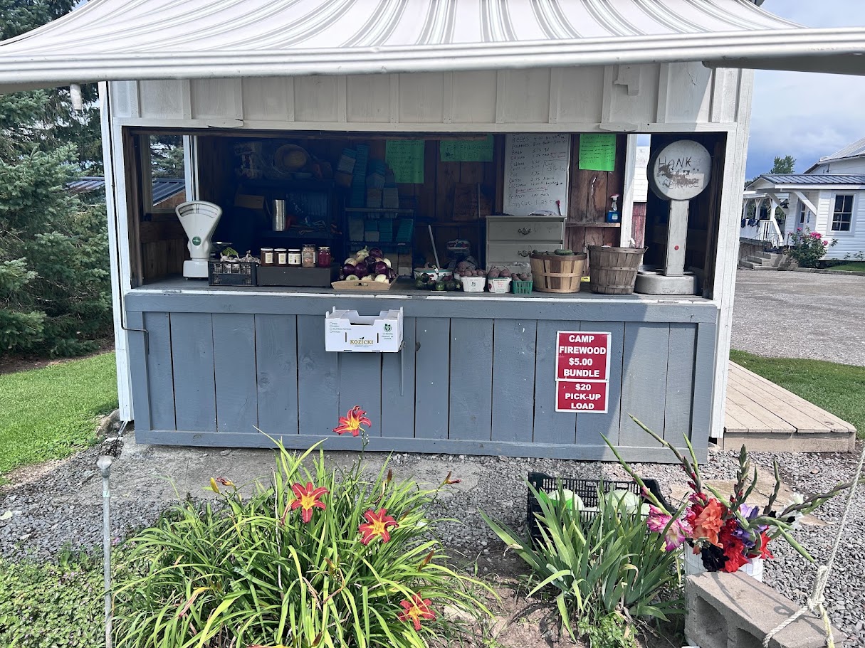
An honesty-system farm stand along the way made for a good resupply stop — produce, firewood, a scale, and a “honk” sign instead of a cashier.
We also stopped at a bridge over the Crowe River, further along toward Kasshabog — a good excuse for a break and a look at the water.
Worth knowing: the gravel Heritage Trail section from Rush Point (near Round Lake) north to Hubble Rd has a paved alternative — straight, quiet Highway 44 runs the same stretch. We rode the paved Highway 44 option on day 1, then took the gravel alternative on the way back on day 2A, so we can vouch for both — the gravel is the nicer ride, through oak forest.
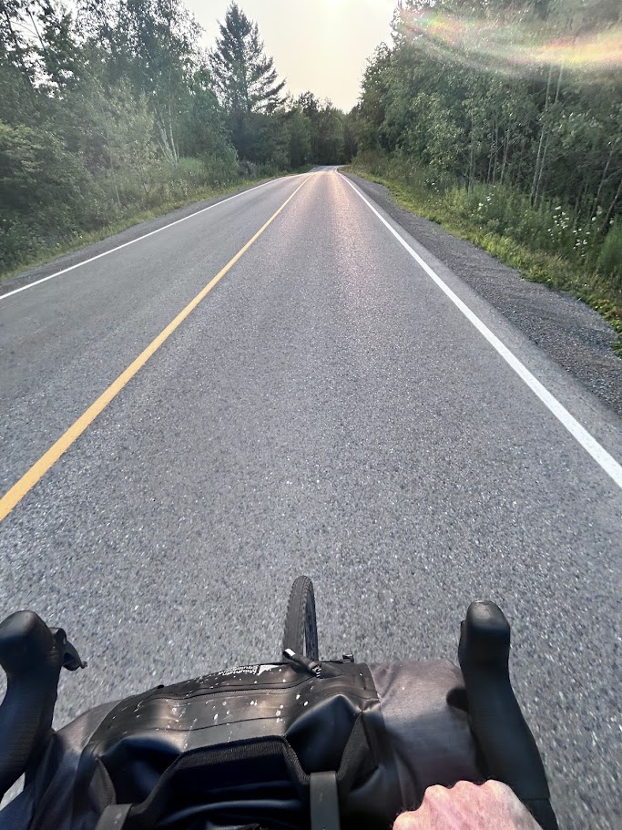
The final stretch into Kasshabog is paved, quiet, and — if you time it like we did — ridden in the golden light just before dusk.
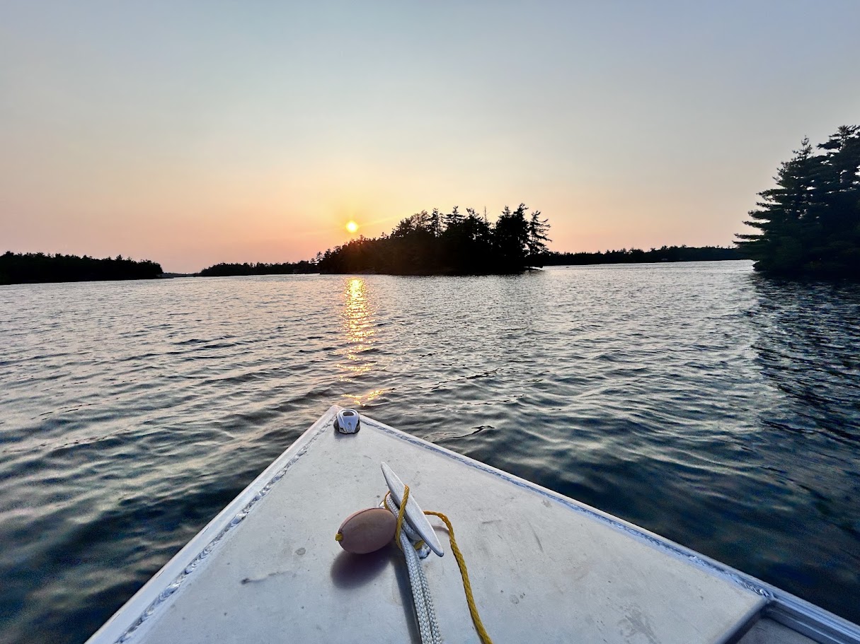
One logistics note worth knowing ahead of time: the cottage itself isn’t reachable by road. Bikes get locked up at the marina, then it’s a short boat ride across the lake to the cottage.
Day 2: back to Marmora via Round Lake, then south to Tweed
Day 2A retraces the day-1 road from the marina back toward Round Lake on local roads, with a short, nice stretch of gravel on Hubble Rd toward Rush Point — the gravel alternative to day 1’s paved Highway 44 run, through oak forest.
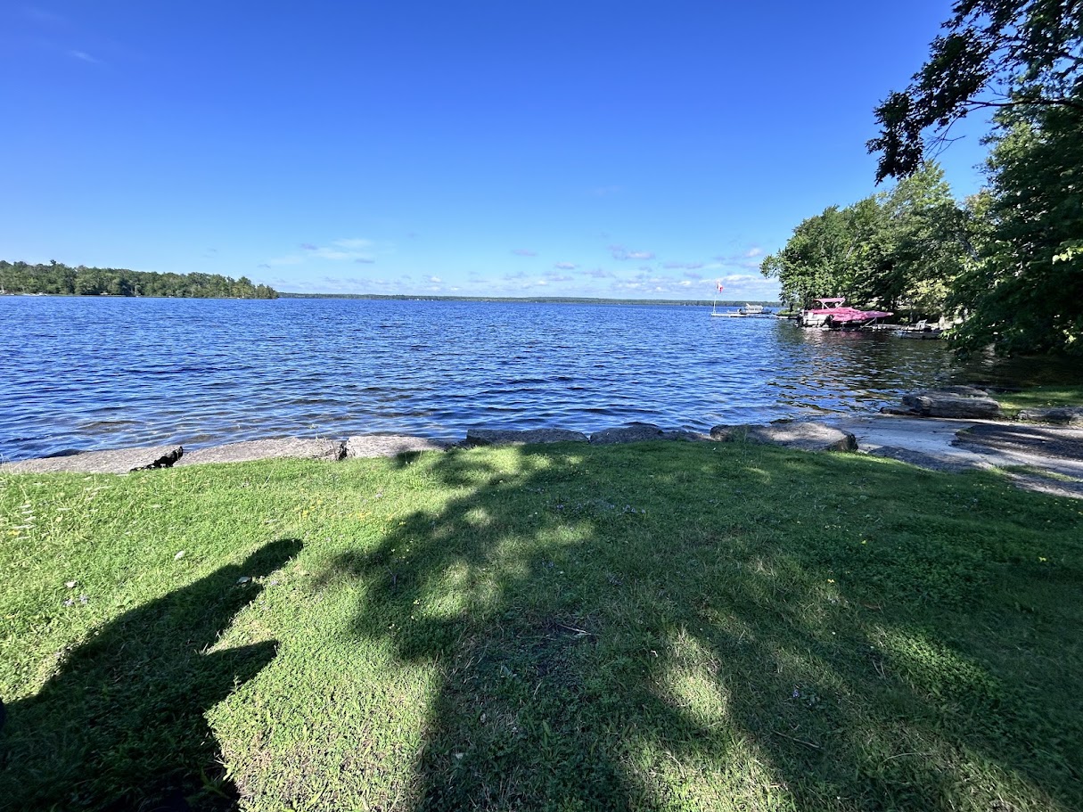
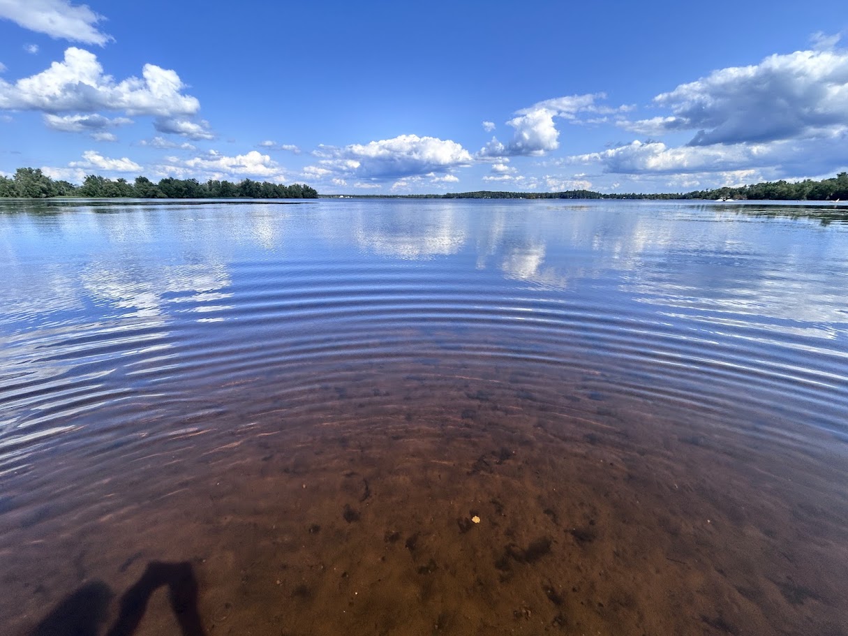
Round Lake itself is a good rest point — calm water, a couple of docks, clear enough to see the bottom near shore. We stopped for a swim at the public boat launch on the lake.
From Round Lake we rode south to Highway 7 — a careful crossing, since it’s busy — then about a kilometre east on the gravel shoulder to visit the Preneveau Pioneer Cemetery before joining the Trans Canada Trail heading east toward Marmora.
A lunch stop at Callaghan’s Rapids Conservation Area came next, along the trail — a steel truss bridge over the rapids right on the route.
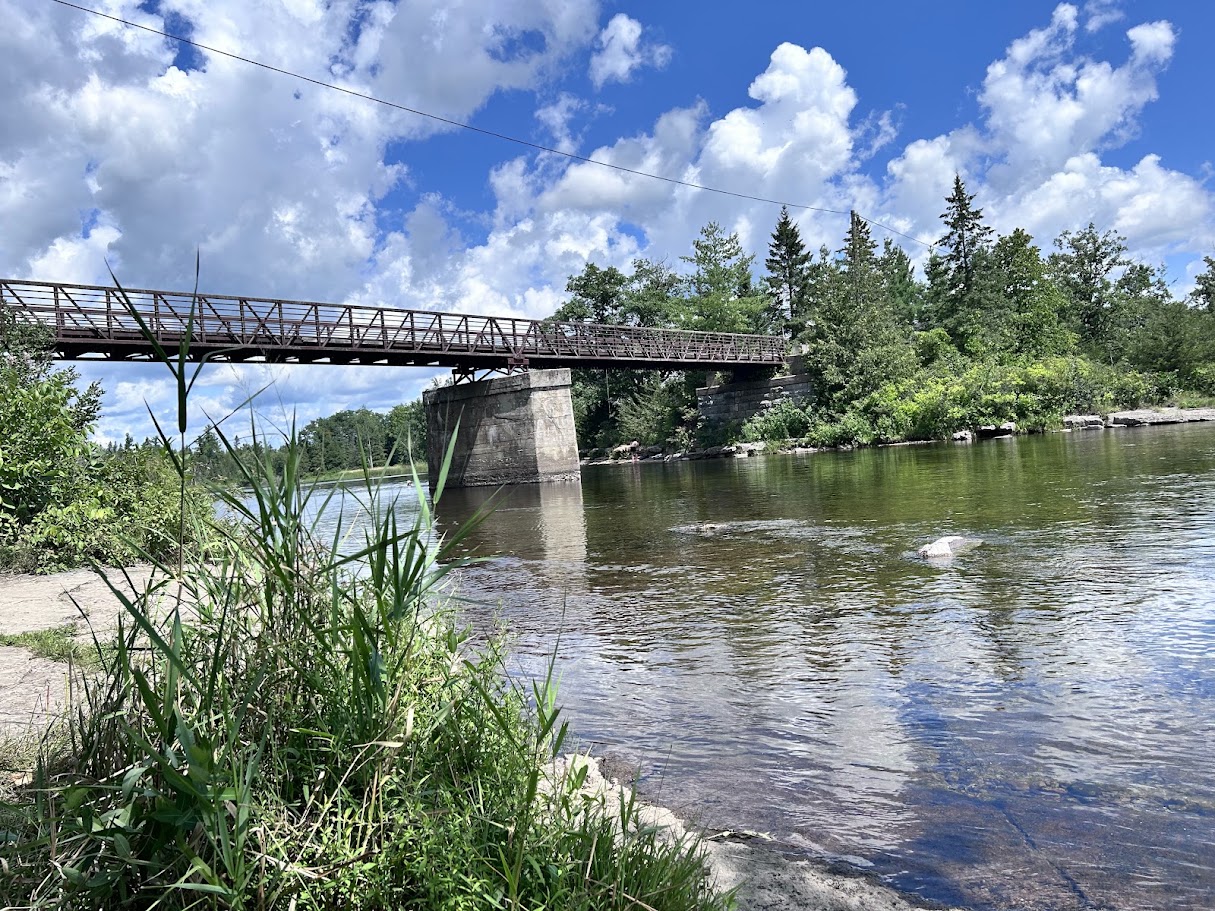
From there, day 2A splices back into the published Hasty Hastings loop just south of Marmora. Day 2B then follows the southern part of the loop, combining the Trans Canada Trail with rolling gravel roads before rejoining the trail, marked with the same OFSC/TCT signage that runs its length year-round.
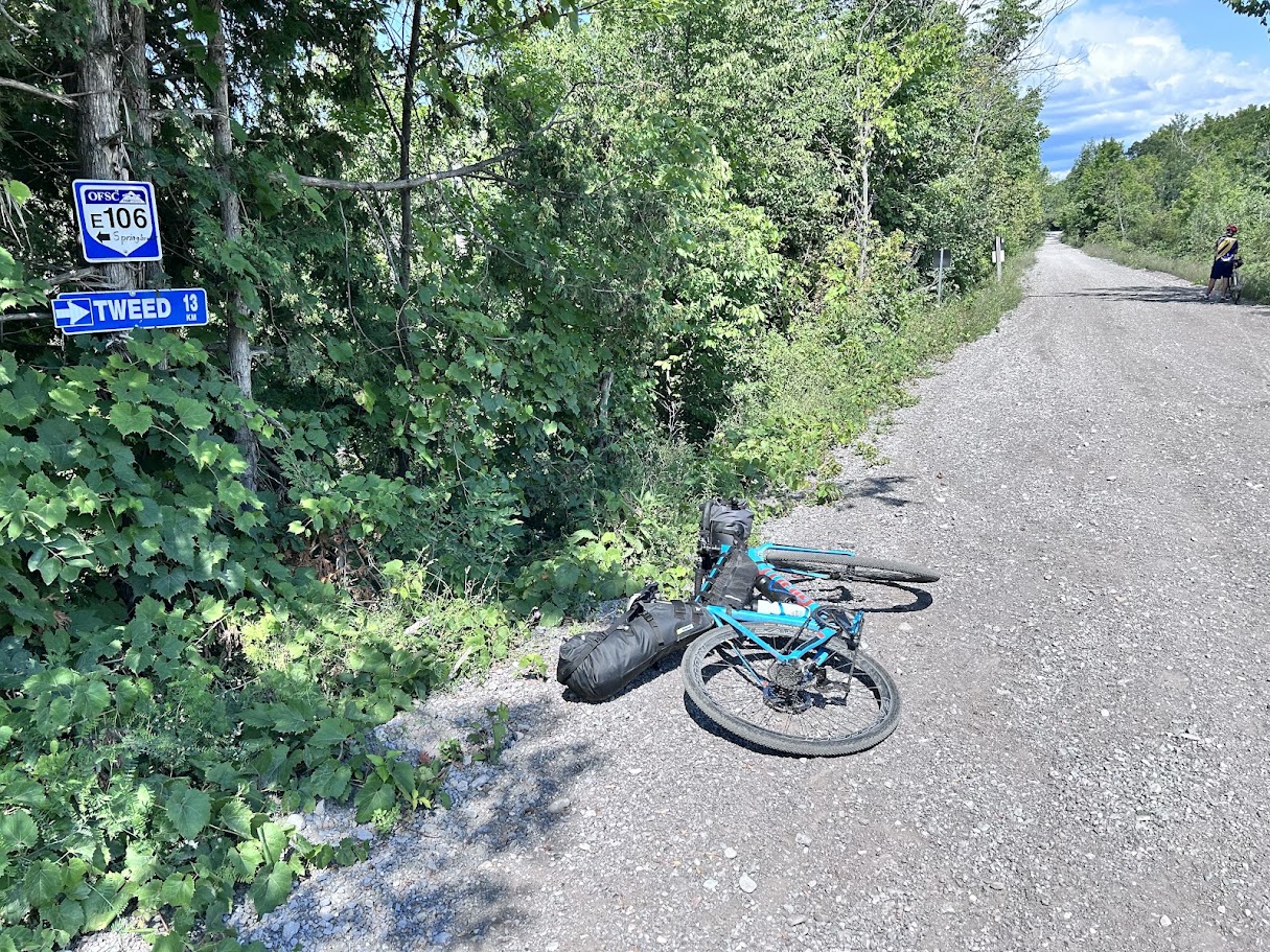
We left the gravel trail at Buller and finished on paved Crookstone Rd the rest of the way — a smoother, faster end to the day than gravel would have been.
The ride ends back at Tweed, on the shore of the lake the town sits on.
The Hastings Heritage Trail
Part of this route runs on the Hastings Heritage Trail, a former railway line converted into a 156 km flat, compacted-surface, four-season multi-use trail running from Glen Ross to Lake St. Peter — one end tied into the Trent Canal system, the other bordering Algonquin Park. In winter it doubles as an OFSC snowmobile trail (you’ll see the route markers even in summer — see the day-2 photo below); the rest of the year it’s shared with ATVs. Across both days, the trail surface for us broke down roughly as 50% paved connecting road, 25% hardpacked gravel, and 25% soft or loose gravel — including the flooded section noted above.
A park worth the detour that you can’t camp at
Petroglyphs Provincial Park sits about 6 km from the Kasshabog Lake cottage — close enough to add as a side trip without much extra riding. It’s the site of the largest known concentration of Indigenous rock carvings in Canada, and it’s day-use only: our catalog lists just hiking and discovery_program for it, nothing camping-related. We didn’t stop this time, but it’s on the list for next visit — worth building into the schedule as a stop, not an overnight.
Camping options along the way
If you’d rather not arrange a cottage for this route (or you’re doing the full loop in one long day and want a fallback), here’s what’s actually bookable near the route:
| Option | Distance from route | Notes |
|---|---|---|
| Bon Echo Provincial Park | ~48 km from Tweed | Frontcountry car camping plus backcountry/walk-in and canoe-in sites, on Mazinaw Lake — the more scenic of the two provincial-park fallbacks. |
| Sharbot Lake Provincial Park | ~57 km from Tweed | Frontcountry, car-accessible, 38-site Beach Front Campground plus more. Also the destination of our other Kawarthas bikepacking route, if you want to combine trips. |
| Booster Trailer Park (Marmora) | ~2 km from Marmora | The only private campground our catalog turned up close to the route. No verified website on file — call ahead. |
| Island Park RV Resort | ~30 km south of the Preneveau Pioneer Cemetery (day 2’s midpoint) | Private, commercial. |
Short reviews: parks in the region
| Park | Camping | What it’s for |
|---|---|---|
| Bon Echo PP | Frontcountry, plus backcountry/walk-in/canoe-in | Built around Mazinaw Lake and its 100 m cliff face; hiking, rock climbing, and radio-free camping zones if you want a quieter site. |
| Sharbot Lake PP | Frontcountry car camping, 38+ sites | Boating, canoeing, kayaking, swimming, a dog beach — the easy, amenity-rich fallback. |
| Kawartha Highlands PP | Backcountry, paddle-in only | Ontario’s largest signature-site wilderness park by area — no road or bike access to any campsite, canoe/paddle only. Worth knowing if you were hoping to combine this trip with a paddle: you can ride near it, but you can’t ride into it. |
| Petroglyphs PP | None — day use only | See above. The rock-carving site, near the Kasshabog Lake overnight. |
Gear and planning notes
We rode loaded gravel bikes with a full bikepacking setup — frame bag, saddle bag, and a handlebar roll each — no trailer or panniers. The published Hasty Hastings route notes recommend 40–45mm tires to handle the mix of gravel and the sandier (or, as it turned out, sometimes flooded) rail-trail stretches; that matched our experience, especially on the soft-gravel quarter of the route. We didn’t have any mechanicals worth reporting. Water and food resupply worked out fine without much planning — the honesty farm stand outside Marmora was the standout stop, and Marmora and Tweed both have normal small-town services if you need more than that.
How we know all this
Campaid is a booking assistant for Canadian camping trips — it checks live availability across Ontario Parks, Parks Canada, Sépaq and more, per night rather than as a single sold-out yes/no, and factors in what the booking page never tells you: fire bans, road and rail noise, how exposed a site is, drive time from where you actually live. Bikepacking routes are their own hard case, because the thing that actually matters — whether the rail trail is rideable gravel or a flooded slog this week, whether a park you’re riding past even has camping — isn’t in any booking system. So we ride it, measure it, and write it down.
If you’ve ridden this route and have corrections or a different take, tell us. Route notes get better the more people ride them.
Frequently asked questions
What is the Hasty Hastings gravel route?
A published 104 km gravel loop out of Tweed, Ontario, roughly 80% gravel and rail trail (the Hastings Heritage Trail and the Kaladar Rail Trail), normally ridden in one long day. This post covers splitting it into two days instead, with an overnight in a cottage on Kasshabog Lake.
Do I need a gravel bike for this route?
Yes — the published route notes recommend 40–45mm tires for the mix of gravel and the sandier rail-trail sections, and that matched our own experience. About half the route we rode was paved, a quarter hardpacked gravel, and a quarter soft or loose gravel.
Is the Hastings Heritage Trail actually a “sandy slog”?
Sometimes it’s worse than sand. We hit a section that was fully flooded after a stretch of rain and had to walk the bike through rather than ride it. If you’re riding after wet weather, budget extra time and expect at least one wading stop.
Where can I camp if I split the Hasty Hastings loop into two days?
Bon Echo and Sharbot Lake Provincial Parks are the two bookable frontcountry options near the route if you don’t want to arrange a cottage. Private campground options in the immediate corridor are thin in our data — see the camping-options section above.
Can I camp at Kawartha Highlands or Petroglyphs Provincial Parks?
No to both, for different reasons. Kawartha Highlands is backcountry paddle-in only — no road or bike access to any site. Petroglyphs is day-use only, no camping at all, but worth a stop — it’s about 6 km from the Kasshabog Lake overnight.
How far is the ride each day?
Day 1 (Tweed → Marmora → Kasshabog) is about 105 km, per our Garmin. Day 2 (Kasshabog → back onto the loop south of Marmora → Round Lake → Tweed) is about 99 km. Either way, plan for a full riding day both directions.
Planning a trip like this? Campaid checks live availability across Ontario Parks, Parks Canada, Sépaq and more — per night, with cancellations, noise, privacy and fire bans factored in. Try it free.